Archeotech
Archeotech aims to bring together specialists in archeological investigation, Heritage Consultancy, Geophysical Investigation, Geomatics, Photogrammetry, and Digital Imagery together to contribute to the study and the preservation of archeological and artistic properties.
Archeotech is also in a unique position to take advantage of its sister company Inspectech’s robust experience in condition assessment of existing structures, and subsurface imaging & evaluation. In addition to Inspectech’s international partner “Geostudi Astier – Italy”, which comes with strong experience in geophysical application in archeology.
Archeotech's Services Includes:
Archeotech offers advanced solutions to its clients through the following services:
Consultancy*
Site Investigation*
Services
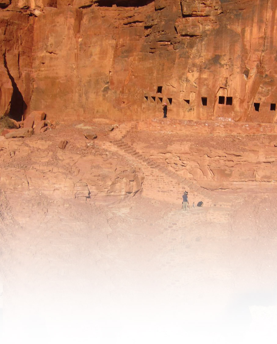
* Image Credit: Aerial view of lion tombs carved into Jabal Dedan captured using UAV system. Courtesy of N. Smith.
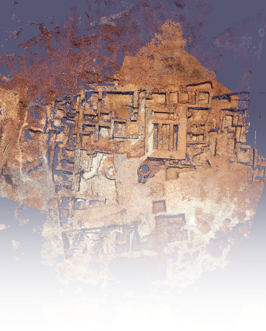
* Image Credit: Point cloud model of the Dedan southern excavation area.
Courtesy of N. Smith.
Heritage Consultancy
Early Development Advice
Considering heritage implications early on, during development design, can have significant benefits to planning and program. We offer early-stage heritage advice in order that you gain an overview of a site’s heritage potential and development implications, prior to or during development design.
Rapid Site Assessment
A Rapid Site Assessment provides a rapid assessment of the potential for heritage remains to exist at a development site, enabling developers to plan accordingly. The assessment is less detailed than a Desk-Based Heritage Assessment but would include a walk-over survey and analysis of available heritage baseline data.
Heritage Impact Assessment
A Heritage Impact Assessment is a document that outlines the archeological or historical significance of known and potential heritage remains on a specific site and assesses the impact of a development on the remains and their setting. Using these findings, the assessment proposes an appropriate archeological and built heritage mitigation strategy.
Archeological Site Investigation
Evaluation
Archeological evaluations identify the presence of, and assess the significance of, any heritage remains that are likely to be affected by a development. We offer the following archeological evaluation services:
- Trial trench excavation;
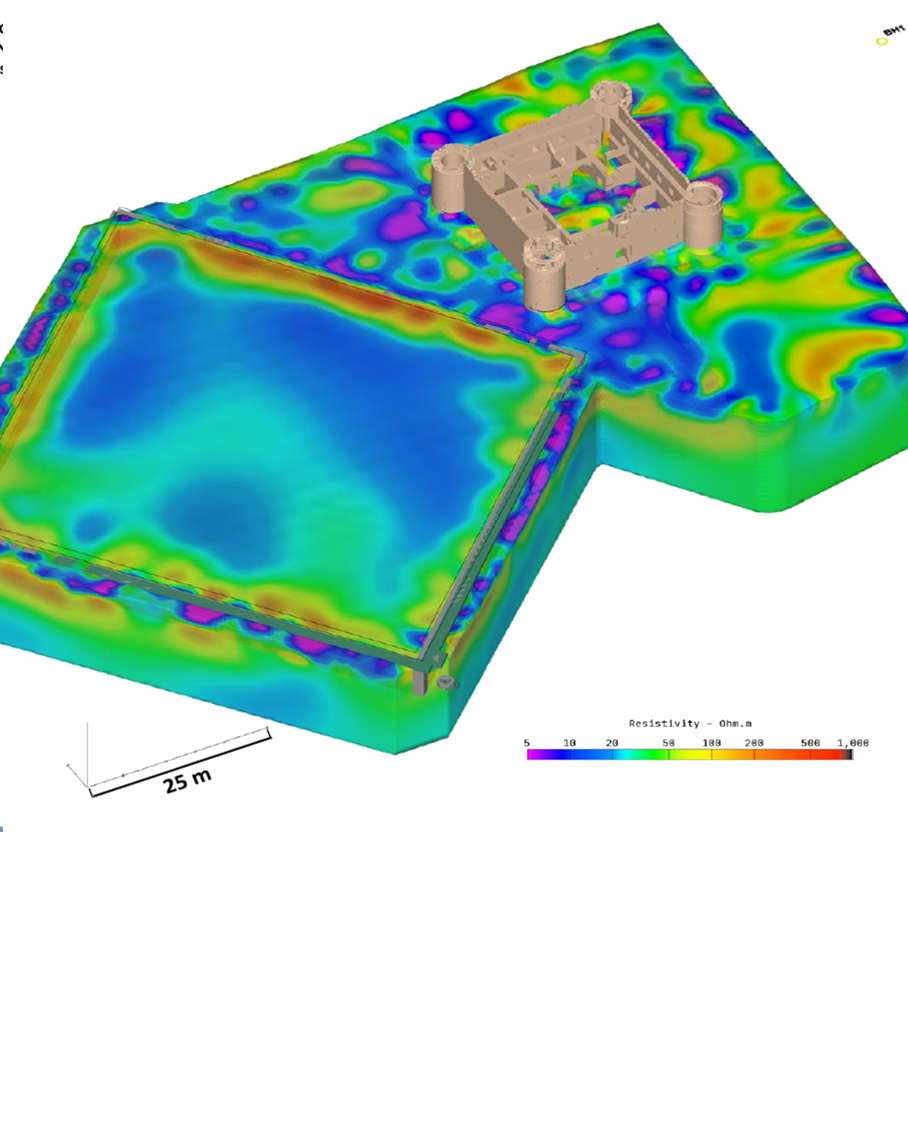
- Geophysical survey (3D Electrical Resistivity Tomography, 3D Ground Penetrating Radar, Multi-Channel Analysis of Surface Wave, Magnetics/Electromagnetics) ;
- Standing buildings survey;
- Landscape survey; and
- Field walking survey.
Archeological Excavation
If archeological evaluation has demonstrated that significant heritage remains exist, you may be required to implement a full archeological excavation prior to or during development. With our team of experienced archeologists, we offer the various services associated with archeological excavation, including:
-
-
- Planning and logistics of excavation;
- Best-practice excavation and recording of heritage remains;
- Professional archiving of data;
- Comprehensive, illustrated, report compiling the results and analysis of excavation data; and
- Publication of data in an appropriate journal.
-
Archeological Watching Brief
The monitoring of geotechnical or construction works by experienced archeologists. Where archeological remains are encountered, we are able to provide rapid recording of remains.
Supporting Services
Condition Assessment and HIA for Existing Structure including:
-
- Visual & Physical Examination, and recording signs of deterioration
- Scan to BIM services
- Reality Capture: 3D laser scanning for the as existing buildings
- 3D and 2D Documentations (Models and drawings)
-
- Material Sampling and testing
- Subsurface Imaging (Geophysics)
- Geotechnical Investigation
- Structural Health Monitoring (Vibration, Deformation, Settlement, etc.,)
- Structural Analysis & Design for Stabilization
- Architectural Analysis & Design for Adaptive re-use
- Generating Defects Maps
- Generating Conservation Maps
- Generating Project BOQ, Specifications, and Tender Documents
Image Credits*
* Heritage Consultancy Image: Aerial view of lion tombs carved into Jabal Dedan captured using UAV system. Courtesy of N. Smith.
* Archeological Site Investigation Image: Point cloud model of the Dedan southern excavation area. Courtesy of N. Smith.
Will Support You
